Isla de Mona
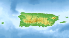
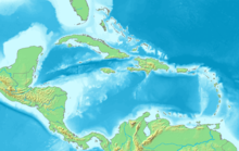
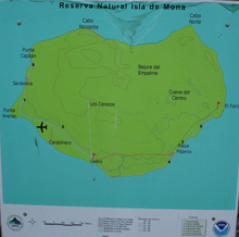
Island of Puerto RicoMona Island is the third-largest island of the Puerto Rican archipelago, after the main island of Puerto Rico and Vieques. It is the largest of three islands in the Mona Passage, the strait between Hispaniola and Puerto Rico, with the others being Monito Island and Desecheo Island. It measures about 7 miles by 4 miles, and lies 41 mi (66 km) west of Puerto Rico, of which it is administratively a part. It is one of two islands that make up the Isla de Mona e Islote Monito barrio in the municipality of Mayagüez.
Read article
Top Questions
AI generatedMore questions
Nearby Places

Monito Island
Uninhabited island of Puerto Rico

Mona Island Light
Lighthouse on the island of Mona, Puerto Rico

Isla de Mona e Islote Monito, Mayagüez, Puerto Rico
Barrio of Puerto Rico
Mona Airport
Airstrip on Mona Island in Puerto Rico

Mona and Monito Islands Nature Reserve
Two islands off western Puerto Rico


