Inner Harbor
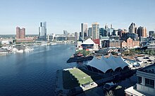
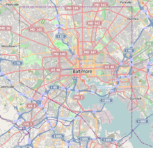
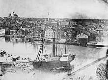
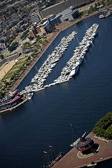
Neighborhood in Baltimore, Maryland, United StatesThe Inner Harbor is a historic seaport, tourist attraction, and landmark in Baltimore, Maryland. It was described by the Urban Land Institute in 2009 as "the model for post-industrial waterfront redevelopment around the world". The Inner Harbor is located at the mouth of Jones Falls, creating the wide and short northwest branch of the Patapsco River. The district includes any water west of a line drawn between the foot of President Street and the American Visionary Art Museum.
Read article
Top Questions
AI generatedMore questions
Nearby Places

USS Constellation (1854)
Last sail-only warship designed and built by the United States Navy
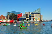
National Aquarium (Baltimore)
Aquarium in Baltimore, Maryland, USA
Visit Baltimore
Promotional organization for Baltimore, Maryland, U.S.

USS Torsk
Submarine of the United States
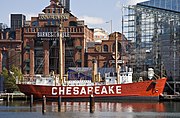
United States lightship Chesapeake (LV-116)

Baltimore World Trade Center
Skyscraper in Baltimore, Maryland, US

Baltimore metropolitan area
Metropolitan Statistical Area in Maryland, United States
Baltimore Heritage Walk
Trail linking 20 historic sites and museums
