Humber
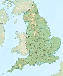
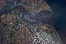
Large tidal estuary in north-east EnglandThe Humber is a large tidal estuary on the east coast of Northern England. It is formed at Trent Falls, Faxfleet, by the confluence of the tidal rivers Ouse and Trent. From there to the North Sea, it forms part of the boundary between the East Riding of Yorkshire on the north bank and North Lincolnshire on the south bank. Also known as the River Humber, it is tidal its entire length.
Read article
Top Questions
AI generatedMore questions
Nearby Places

Spurn
Tidal island in the East Riding of Yorkshire, England

Pleasure Island Family Theme Park
Defunct amusement park in England

Ravenser Odd
Former port in the East Riding of Yorkshire, England
Ravensrodd (Parliament of England constituency)
Constituency of the Parliament of England (1295–1337)
Meridian Park (Cleethorpes)
Entertainment venue in North East Lincolnshire, England

RAF North Coates
Former Royal Air Force station in Lincolnshire, England

Tetney Lock

Humberston Fitties
Human settlement in England


