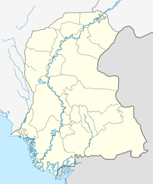
Hala, Sindh
City in Sindh, PakistanHala is a city and taluka of Matiari district of Sindh, Pakistan. According to the Revenue record, Hala was given the status of Taluka of Hyderabad District in 1848. In 2005, it became part of Matiari District. Hala is located on the N-5 National Highway of Pakistan at a distance of about 62 kilometers from Hyderabad. Hala is also located on the Tando Adam - Mehrabpur Railway Line but railway line has been abandoned by Pakistan Railways. As of 2023 census, the Hala Municipal Corporation has a population of 71,094. Total population of Hala Taluka is 286,155 (2023) which includes Hala Municipal Corporation, Hala Old, Bhit Shah, Bhanote and surrounding areas.
Read article
Top Questions
AI generatedMore questions


