Hailforth
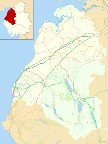
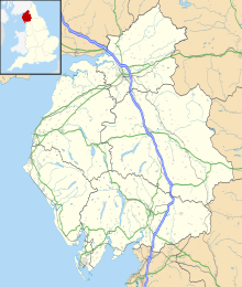
A hamlet in Cumbria, EnglandHailforth is a small hamlet in the civil parish of Holme St. Cuthbert, in Cumbria, United Kingdom. It is located approximately half a mile south-west of the village of Mawbray, and a similar distance north-east of Salta. Carlisle, Cumbria's county town, is situated twenty-five miles to the north-east. The hamlet consists of four houses, and is situated on the road which runs from Mawbray to the coast, where it joins the B5300 at Dubmill, three-quarters of a mile to the south-west.
Read article
Top Questions
AI generatedMore questions
Nearby Places

Mawbray
A village on the Cumbrian coast in England

Salta, Cumbria
A hamlet in Cumbria, England

Edderside
A hamlet in Cumbria, England
Milefortlet 16

Milefortlet 17

Dubmill
A settlement in Cumbria, England

Cowgate, Cumbria
A hamlet in Cumbria, England

Salta Moss
A Site of Special Scientific Interest in Cumbria, England


