Greystoke, Cumbria
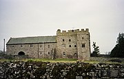
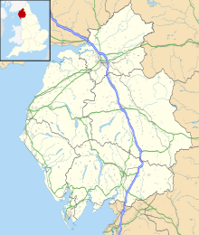
Human settlement in EnglandGreystoke is a village and civil parish on the edge of the Lake District National Park in Cumbria, England, about 4 miles (6.4 km) west of Penrith. At the 2001 census the parish had a population of 642, increasing marginally to 654 at the 2011 Census. The village centres on a green surrounded by stone houses and cottages.
Read article
Top Questions
AI generatedMore questions
Nearby Places

Blencow
Human settlement in England

Blencow railway station
Former railway station in Cumberland, England
Penruddock railway station
Former railway station in Cumberland, England

Greystoke Castle
Castle in Cumbria, England

Johnby
Human settlement in England

Penrith Hoard
Hoard of 10th century brooches

Laithes
Human settlement in England

Johnby Hall
Manor house in Greystoke, Cumbria


