Great Sugar Loaf
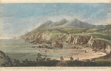
Mountain in County Wicklow, IrelandGreat Sugar Loaf at 501 metres (1,644 ft), is the 404th–highest peak in Ireland on the Arderin scale, however, being below 600 m it does not rank on the Vandeleur-Lynam or Hewitt scales. The mountain is in the far northeastern section of the Wicklow Mountains, in Ireland, and overlooks the village of Kilmacanogue. The profile of the mountain means it can be mistaken for a dormant volcano. It owes its distinctive shape, however, to the erosion-resistant metamorphosed deep-sea sedimentary deposit from which its quartzite composition was derived.
Read article
Top Questions
AI generatedMore questions
Nearby Places

Kilmacanogue
Village in County Wicklow, Ireland

Whitechurch, Dublin
Remote semi-suburban area near Dublin, Ireland

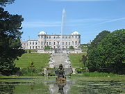
Powerscourt Estate
Estate in Enniskerry, County Wicklow, Ireland

Glen of the Downs
Nature reserve in glacial valley in Ireland
Bellevue House, County Wicklow
Country house in County Wicklow, Ireland

St. Mary's Church, Downsmill
Church in County Wicklow, Ireland

Kilcroney Church
Church in County Wicklow, Ireland
Glencullen River
River in Counties Wicklow and Dublin, Ireland


