Great Britain
Island northwest of continental EuropeGreat Britain is an island in the North Atlantic Ocean off the north-west coast of continental Europe, consisting of the countries England, Scotland and Wales. With an area of 209,331 km2 (80,823 sq mi), it is the largest of the British Isles, the largest European island and the ninth-largest island in the world. It is dominated by a maritime climate with narrow temperature differences between seasons. The island of Ireland, with an area 40 per cent that of Great Britain, is to the west – these islands, along with over 1,000 smaller surrounding islands and named substantial rocks, comprise the British Isles archipelago.
Read article
.jpg)
.svg)


.jpg)


Top Questions
AI generatedMore questions
Nearby Places
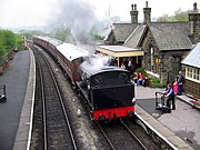
Embsay and Bolton Abbey Steam Railway
Heritage railway in North Yorkshire, England

Yorkshire dialect
Dialects of English spoken in Yorkshire, England

Embsay
Village in North Yorkshire, England
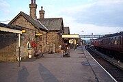
Embsay railway station
Railway station in North Yorkshire, England

Embsay Reservoir
Reservoir in North Yorkshire, England

Embsay with Eastby
Civil parish and electoral ward in North Yorkshire, England

Embsay Priory
Medieval monastic house in North Yorkshire, England

Upper Barden Reservoir
Freshwater reservoir in North Yorkshire, England