Gère
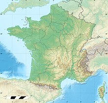
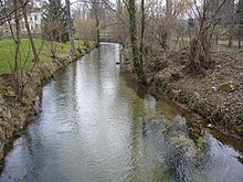
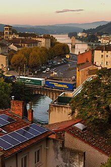
River in Auvergne-Rhône-Alpes, FranceThe Gère is a 34.5-kilometre-long (21.4 mi) tributary of the Rhône in the Isère department of Auvergne-Rhône-Alpes (France). Its source is in a pond of the Grand Tuilière in the eastern part of the Bonnevaux forest. It flows into the Rhone at Vienne. Its power was put to work for paper mills, foundries, and textile mills in the Gère Valley at the beginning of the industrial era.
Read article
Top Questions
AI generatedMore questions
Nearby Places

Vienne, Isère
Subprefecture in France

Arrondissement of Vienne
Arrondissement in Auvergne-Rhône-Alpes, France

Vienne Cathedral
Church in Isère, France

Sainte-Colombe, Rhône
Commune in Auvergne-Rhône-Alpes, France

Saint Peter's church, Vienne (Isère)
Church located in Vienne, France
Canton of Vienne-1
Canton of Vienne-2

Temple of Augustus and Livia
Roman temple located in Isère, France


