Fort Saint Charles
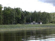
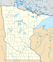
United States historic placeFort Saint Charles (1732) on Lake of the Woods was the second post built by La Vérendrye during his expansion of trade and exploration west of Lake Superior. It was located on Magnuson's Island on the Northwest Angle of Minnesota, 3.5 miles east of Angle Inlet, Minnesota and one mile southwest of Penasse, Minnesota, the most northerly point in that state. The site of the modern reconstruction may be somewhat different since the lake levels were raised by control structures on the Winnipeg River. For related forts, see Winnipeg River.
Read article
Top Questions
AI generatedMore questions
Nearby Places
Angle Inlet, Minnesota
Unincorporated community in Minnesota, US
Northwest Angle 33 First Nation
Northwest Angle 33B
Indian reserve in Ontario, Canada

Northwest Angle State Forest
State Forest in Lake of the Woods County, Minnesota
Penasse, Minnesota
Unincorporated community in Minnesota, United States
Lake of the Woods 37
Indian reserve in Ontario, Canada
Lake of the Woods 31G
Indian reserve in Ontario, Canada


