Fort Island, Guyana
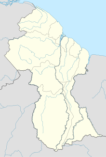
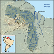
River island in Essequibo Islands-West Demerara, GuyanaFort Island is an island in the Essequibo River located in the Essequibo Islands-West Demerara region of Guyana. It is about 16 kilometres (10 mi) from the mouth of the river, and to the east of Hogg Island. In 1687, a wooden fort was built on the island. In 1744, Fort Zeelandia was constructed and served as the capital of Essequibo, a Dutch colony which is nowadays part of Guyana. In 1752, the Court of Policy was built on the island as the legislative body for the colony.
Read article
Top Questions
AI generatedMore questions


