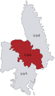
Feni District
District of Bangladesh in Chittagong DivisionFeni is a coastal district situated in the south-east of Bangladesh, within the Chittagong Division. One of Bangladesh's smallest districts, it is strategically located along the Dhaka–Chittagong transportation corridor. Bordered by India to the north and the Bay of Bengal to the south, it serves as the sole entry point linking Chittagong, the country's primary port city, to the northern districts.
Read article
Top Questions
AI generatedMore questions
Nearby Places

Feni Sadar Upazila
Upazila in Chittagong, Bangladesh

Feni Government Pilot High School
Government secondary school in Feni Sadar, Feni District, Chittagong, Bangladesh
Shaheed Salam Stadium
Football Stadium in Feni, Bangladesh

Feni, Bangladesh
City in Bangladesh
Feni Government College
College in Bangladesh

Feni-2
Bangladeshi parliamentary constituency
Feni Junction railway station
Railway station in Feni District, Bangladesh

Feni Government College Killing field
Historic site in Feni Government College, Feni


