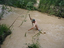
Escalante River
River in Garfield and Kane counties in Utah, United StatesThe Escalante River is a tributary of the Colorado River. It is formed by the confluence of Upper Valley and Birch Creeks near the town of Escalante in south-central Utah, and from there flows southeast for approximately 90 mi (140 km) before joining Lake Powell. Its watershed includes the high forested slopes of the Aquarius Plateau, the east slope of the Kaiparowits Plateau, and the high desert north of Lake Powell. It was the last river of its size to be discovered in the 48 contiguous U.S. states. The average discharge is approximately 146 cfs.
Read article
Top Questions
AI generatedMore questions


