Draa River
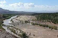
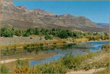
River in MoroccoThe Draa is Morocco's longest river, at 1,100 kilometres (680 mi). It is formed by the confluence of the Dadès River and Imini River. It flows from the High Atlas mountains, initially south-eastward to Tagounite, and from Tagounite mostly westwards to its mouth in the Atlantic Ocean somewhat north of Tan-Tan. In 1971, the (El) Mansour Eddahabi dam was constructed to service the regional capital of Ouarzazate and to regulate the flow of the Draa. Most of the year the part of the Draa after Tagounite falls dry.
Read article
Top Questions
AI generatedMore questions


