Dovre
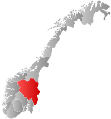
Municipality in Innlandet, NorwayDovre is a municipality in Innlandet county, Norway. It is located in the traditional district of Gudbrandsdal. The administrative centre of the municipality is the village of Dovre. Other villages in Dovre include Dombås and Hjerkinn. The municipality is bordered on the north by Oppdal municipality, on the east by Folldal, on the south by Sel and Vågå, and on the northwest by Lesja. The highest peak in the municipality is Snøhetta at a height of 2,286 metres (7,500 ft).
Read article
Top Questions
AI generatedMore questions


