Dewsbury
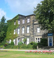
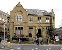
Market town in West Yorkshire, EnglandDewsbury is a market town in the Metropolitan Borough of Kirklees in West Yorkshire, England. It lies on the River Calder and on an arm of the Calder and Hebble Navigation waterway. It is to the west of Wakefield, east of Huddersfield and south of Leeds. Historically a part of the West Riding of Yorkshire, after undergoing a period of major growth in the 19th century as a mill town, Dewsbury went through a period of decline. Dewsbury forms part of the Heavy Woollen District of which it is the largest town. The population of the built-up area was 63,722 at the 2021 Census.
Read article
Top Questions
AI generatedMore questions
Nearby Places

Dewsbury railway station
Railway station in Kirklees, West Yorkshire, England

Boothroyd, West Yorkshire
Village in West Yorkshire, England
Dewsbury and Savile Ground
Cricket ground in Savile Town, Dewsbury, England

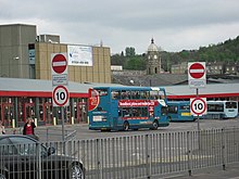
Dewsbury bus station
Bus station in West Yorkshire, England

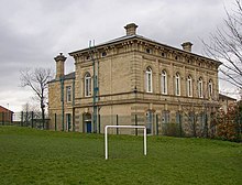
Dewsbury Town Hall
Municipal building in Dewsbury, West Yorkshire, England

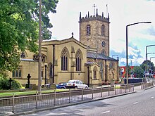
Dewsbury Minster
Anglican church in Dewsbury, West Yorkshire, England

Dewsbury Central railway station
Disused railway station in West Yorkshire, England
Dewsbury Market Place railway station
Disused railway station in Dewsbury, West Yorkshire


