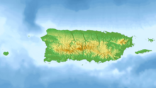
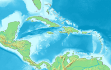
Desecheo Island
Uninhabited island of Puerto RicoDesecheo is a small uninhabited island of the archipelago of Puerto Rico in the northeast of the Mona Passage; 13 mi (21 km) from the municipality of Rincón on the west coast of the main island of Puerto Rico and 31 mi (50 km) northeast of Mona Island. It has a land area of 0.589 sq mi. Politically, the island is administered by the U.S. Department of the Interior, U.S. Fish and Wildlife Service as the Desecheo National Wildlife Refuge, but part of the Sabanetas barrio of Mayagüez.
Read article
Top Questions
AI generatedMore questions


