Daufuskie Island
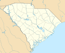
Census-designated place in South Carolina, United StatesDaufuskie Island, located between Hilton Head Island and Savannah, is the southernmost inhabited sea island in South Carolina. It is 5 miles (8 km) long by almost 2.5 miles (4.0 km) wide – approximate surface area of 8 square miles (21 km2). With over 3 miles (5 km) of beachfront, Daufuskie is surrounded by the waters of Calibogue Sound, the Intracoastal Waterway and the Atlantic Ocean. It was listed as a census-designated place in the 2020 census with a population of 557.
Read article
Top Questions
AI generatedMore questions
Nearby Places

Savannah River
River in the southeastern United States

Harbour Town Golf Links
Public golf course in South Carolina, United States
RBC Heritage
Golf tournament held in South Carolina, United States

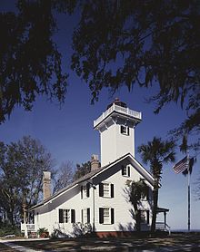
Haig Point Club
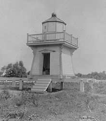
Bloody Point Range Lights
Lighthouses in South Carolina, US

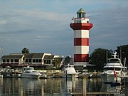
Harbour Town Light
Lighthouse in South Carolina, United States
Bloody Point, South Carolina
Community in South Carolina, US

Stoney-Baynard Plantation
Archaeological site in South Carolina, United States


