Curepipe
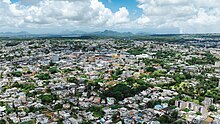
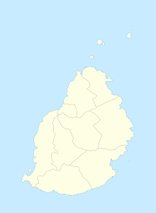
Town in Plaines Wilhems, MauritiusCurepipe also known as La Ville-Lumière, is a town in Mauritius, located mainly in the Plaines Wilhems District. Its eastern part lies in the Moka District. The town is administered by the Municipal Council of Curepipe. Curepipe lies at a higher elevation, often referred to as the "Central Plateau". According to the census made by Statistics Mauritius in 2018, the population of the town was at 78,618.
Read article
Top Questions
AI generatedMore questions


