Couesnon
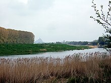
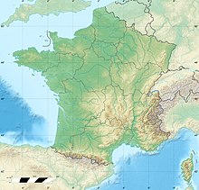
River in FranceThe Couesnon is a river running from the département of Mayenne in north-western France, forming an estuary at Mont Saint-Michel. It is 97.8 km (60.8 mi) long, and its drainage basin is 1,124 km2 (434 sq mi). Its final stretch forms the border between the historical duchies of Normandy and Brittany. Its historically irregular course, alternating between two beds on the north and south of the Mont Saint-Michel but eventually definitely settling to the south bed, inspired the saying "The Couesnon in its madness placed the Mont in Normandy", as the Mont is just to the Norman side of the river's current mouth. However, the administrative boundary separating the two regions does not depend on the course of the river, and is about six kilometers west of the Mont.


