Col du Cucheron
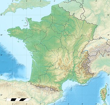
The Col du Cucheron, culminating at 1139 m above sea level, is one of the points of the long depression of the "three passes" of the Chartreuse massif linking Saint-Pierre-de-Chartreuse south to Saint-Pierre d'Entremont north.
Read article
Top Questions
AI generatedMore questions
Nearby Places

Grande Chartreuse
Head monastery of the Carthusian order

Chartreuse Mountains
Mountain range in southeastern France

Saint-Pierre-de-Chartreuse
Commune in Auvergne-Rhône-Alpes, France

Grand Som

Lances de Malissard

Parc Naturel Régional de la Chartreuse

Col de la Ruchère
Mountain pass in France

Tour Percée
Largest freestanding natural arch in the Alps

