Chota Nagpur Plateau
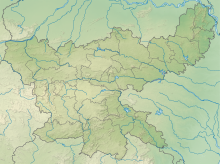
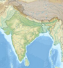
Plateau in eastern IndiaThe Chota Nagpur Plateau is a plateau in eastern India, which covers much of Jharkhand state as well as adjacent parts of Chhattisgarh, Odisha, West Bengal and Bihar. The Indo-Gangetic plain lies to the north and east of the plateau, and the basin of the Mahanadi river lies to the south. The total area of the Chota Nagpur Plateau is approximately 65,000 square kilometres (25,000 sq mi).
Read article
Top Questions
AI generatedMore questions
Nearby Places

Jharkhand
State in eastern India

Ranchi
Capital of East Indian state Jharkhand
List of neighbourhoods of Ranchi
Gossner Theological College

Ranchi Junction railway station
Railway junction station in Jharkhand

The International Library & Cultural Centre
Pragyan International University
University in Ranchi, Jharkhand, India
Ranchi Sadar subdivision
Subdivision in Jharkhand, India


