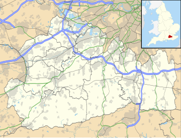
Chipstead, Surrey
Village in Surrey, EnglandChipstead is a predominantly commuter village in the Reigate and Banstead district, in north-east Surrey, England, that has been a small ecclesiastical parish since the Domesday Survey of 1086. Its rolling landscape meant that Chipstead's development was late and restricted compared to parishes of comparable distance from London. Formerly and formally including Hooley and Netherne-on-the-Hill, on census day, 1831 Chipstead had 66 homes. Today, excluding those two parts, the village has 1,212 homes spread across the slopes and crests of a northern section of the North Downs. Parts of the village are in or adjoin the Surrey Hills AONB.
Read article
Top Questions
AI generatedMore questions
Nearby Places

Coulsdon
Town in south London, England

Coulsdon South railway station
National Rail station in London, England

Woodmansterne railway station
National Rail station in London, England

Cane Hill Hospital
Hospital in England

Chipstead railway station
National Rail station in Surrey, England

Woodmansterne
Village in Surrey, England

Chipstead Downs

Ruffett and Big Woods

