Chicxulub crater
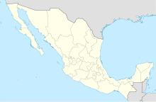
Prehistoric impact crater in MexicoThe Chicxulub crater is an impact crater buried underneath the Yucatán Peninsula in Mexico. Its center is offshore, but the crater is named after the onshore community of Chicxulub Pueblo. It was formed slightly over 66 million years ago when an asteroid, about ten kilometers in diameter, struck Earth. The crater is estimated to be 200 kilometers in diameter and 1 kilometer in depth. It is believed to be the second largest impact structure on Earth, and the only one whose peak ring is intact and directly accessible for scientific research.
Read article
Top Questions
AI generatedMore questions


