Cheam
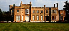
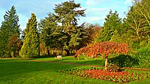
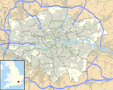
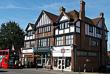
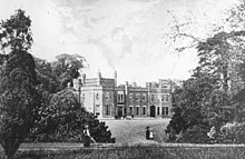
London suburbCheam is a suburb of London, England, 10.9 miles (17.5 km) southwest of Charing Cross. It is divided into North Cheam, Cheam Village and South Cheam. Cheam Village contains the listed buildings Lumley Chapel and the 16th-century Whitehall. It is adjacent to two large parks, Nonsuch Park and Cheam Park. Nonsuch Park contains the listed Nonsuch Mansion. Parts of Cheam Park and Cheam Village are in a conservation area. Cheam is bordered by Worcester Park to the northwest, Morden to the northeast, Sutton to the east, Epsom, Ewell and Stoneleigh to the west and Banstead and Belmont to the south.
Read article
Top Questions
AI generatedMore questions
Nearby Places

Cheam railway station
National Rail station in London, England

Sutton and Cheam (UK Parliament constituency)
Parliamentary constituency in the United Kingdom, 1945 onwards
Municipal Borough of Sutton and Cheam
Homefield Preparatory School
Private preparatory day school in Sutton, Greater London, England

Whitehall, Cheam
Historic house museum in Cheam, London Borough of Sutton

Cheam Road
Cricket ground in Sutton, London, England
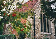
Lumley Chapel
Church in London Borough of Sutton, England

Cheam tube station
Unbuilt London Underground station
