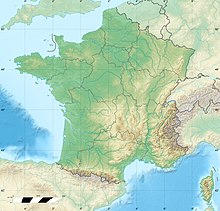
Chaîne de l'Épine
The Chaîne de l'Épine, in the department of Savoie in southeast France, is a 20-kilometre (12 mi) long ridge of the Jura Mountains that runs north–south along the east side of the Lac d'Aiguebelette, from the Col de l'Épine west of Chambéry as far as the western edge of the Chartreuse Mountains, near the commune of Les Échelles. To the north, the ridge becomes the Mont du Chat ridge along the western shore of the Lac du Bourget. At the southern end, the ridge terminates at the Guiers River.
Read article
Top Questions
AI generatedMore questions
Nearby Places

Aiguebelette-le-Lac
Commune in Auvergne-Rhône-Alpes, France

La Motte-Servolex
Commune in Auvergne-Rhône-Alpes, France

Saint-Alban-de-Montbel
Commune in Auvergne-Rhône-Alpes, France

Nances
Commune in Auvergne-Rhône-Alpes, France

Novalaise
Commune in Auvergne-Rhône-Alpes, France

Saint-Sulpice, Savoie
Commune in Auvergne-Rhône-Alpes, France

Lac d'Aiguebelette
Lake in Savoie, France
Canton of La Motte-Servolex


