Cerrito Creek
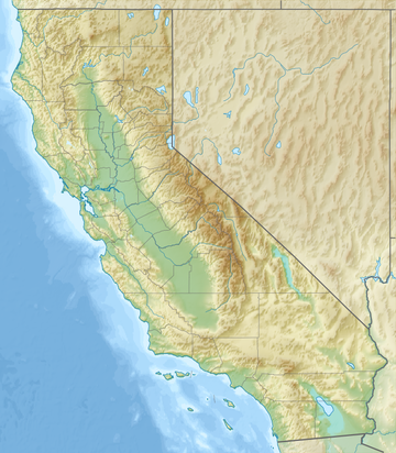
River in California, United StatesCerrito Creek is one of the principal watercourses running out of the Berkeley Hills into San Francisco Bay in northern California. It is significant for its use as a boundary demarcation historically, as well as presently. In the early 19th century, it separated the vast Rancho San Antonio to the south from the Castro family's Rancho San Pablo to the north. Today, it marks part of the boundary between Alameda County and Contra Costa County. The main stem, running through a deep canyon that separates Berkeley from Kensington, is joined below San Pablo Avenue by a fan of tributaries, their lower reaches mostly in culverts. The largest of these is Middle or Blackberry Creek, a southern branch.
Read article
Top Questions
AI generatedMore questions
Nearby Places

Albany Hill
San Francisco Bay hill
Hoffman Marsh
Wetland in Richmond, California

Marin Creek
River in California, United States
MacGregor High School
Public continuation high school in Albany, California, United States

Pacific East Mall
Shopping mall in California, United States
Albany Beach
Beach in California

Sala House

Cerrito Theater
Historic movie theater in California, U.S.

