Canton Island
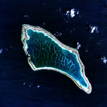
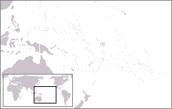
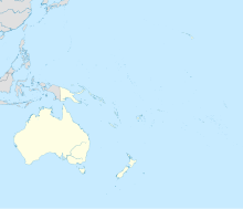
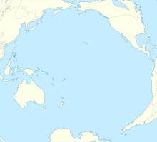
Atoll in the South Pacific OceanCanton Island, previously known as Mary Island, Mary Balcout's Island or Swallow Island, is the largest, northernmost, and as of 2020, the sole inhabited island of the Phoenix Islands, in the Republic of Kiribati. It is an atoll located in the South Pacific Ocean roughly halfway between Hawaii and Fiji. The island is a narrow ribbon of land around a lagoon; an area of 40 km2 (15 sq mi). Canton's closest neighbour is the uninhabited Enderbury Island, 63 km (39 mi) west-southwest. The capital of Kiribati, South Tarawa, lies 1,765 km (1,097 mi) to the west. As of 2015, the population was 20, down from 61 in 2000. The island's sole village, Tebaronga, is located on the northwest point, below the airstrip.
Read article
Top Questions
AI generatedMore questions
Nearby Places

Canton Island Airport
Airport in Canton Island
