Buckeye Valley (Arizona)
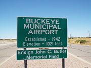
Valley in Maricopa County, Arizona, USBuckeye Valley is a valley on the north side of the great bend in the Gila River, in Maricopa County, Arizona. Its mouth is at an elevation of 853 feet / 260 meters. Its head is at an elevation of 922 feet at 33°23′58″N 112°21′25″W.
Read article
Top Questions
AI generatedMore questions


