Bioko
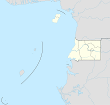
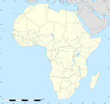
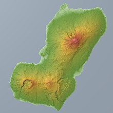
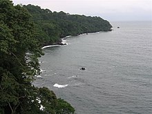
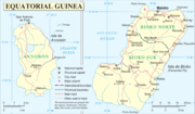
Northern island of Equatorial Guinea, Central AfricaBioko is an island of Equatorial Guinea. It is located 32 km (20 mi) south of the coast of Cameroon, and 160 km (99 mi) northwest of the northernmost part of mainland Equatorial Guinea. Malabo, on the north coast of the island, is the capital city of Equatorial Guinea. Bioko's population was 335,048 at the 2015 census and it covers an area of 2,017 km2 (779 sq mi). The island is part of the Cameroon line of volcanoes and is located off the Cameroon coast, in the Bight of Biafra portion of the Gulf of Guinea. Its geology is volcanic; its highest peak is Pico Basile at 3,012 m (9,882 ft).
Read article
Top Questions
AI generatedMore questions

