Bakhira Sanctuary
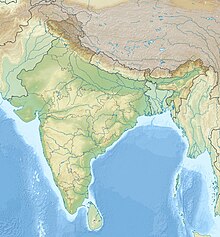
Protected wetland in IndiaThe Bakhira Bird Sanctuary is the largest natural flood plain wetland of India in Sant Kabir Nagar district of Eastern Uttar Pradesh. The sanctuary was established in 1980. It is situated 44 km west of Gorakhpur city 18 km away from khalilabad and 55 km away from basti. It is a vast stretch of water body expanding over an area of 29 km2. This is an important lake of eastern UP, which provides a wintering and staging ground for a number of migratory waterfowls and a breeding ground for resident birds. This is also used for farming activities as it is connected to Bakhira Canal which covers the people of 15 km from its origin. The sanctuary is named after the village Bakhira located adjacent to the lake along with as many as hundred and eight villages surrounding the lake within the 5 km radius. The villagers from the surrounding villages depend on the wetland for their livelihood in the form of fishing, agricultural activities and fuelwood collection from it. The Siberians birds travel across 5000 km to get to these wetlands at the time of winter's.


