Ajodhya Hills
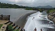
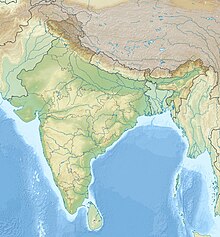
Hilly plateau in West Bengal, IndiaAjodhya Hills, is a small plateau with hilly surroundings located in the Purulia district of the state West Bengal, India. It is the easternmost part of the Chhotanagpur Plateau and extended part of Eastern Ghats range. Highest peak of Ajodhya Hills is Chamtuburu. The nearby populated town area is Bagmundi.
Read article
Top Questions
AI generatedMore questions
Nearby Places

Begunkodor
Census Town in West Bengal, India jhalda
Arsha Assembly constituency
Former West Bengal Legislative Assembly constituency
Arsha College
College in Purulia district, West Bengal
Arsha, Purulia
Village in West Bengal, India
Sirkabad
Village in West Bengal, India

Murguma Dam
Dam in West Bengal, India


