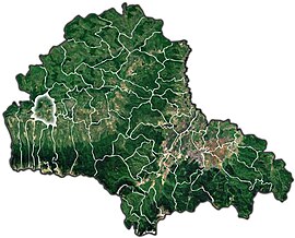
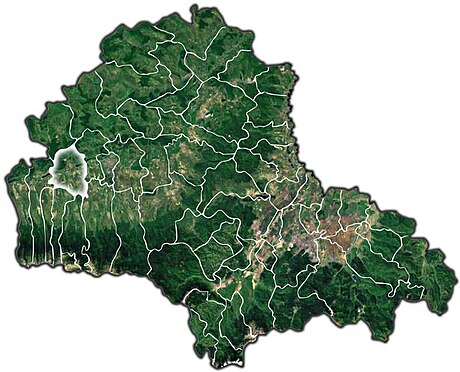
Voila (‹See Tfd›German: Wolldorf; Hungarian: Voila) is a commune in Brașov County, Transylvania, Romania. It is composed of six villages: Cincșor (Kleinschenk; Kissink), Dridif (Dridif), Ludișor (Ludisor), Sâmbăta de Jos (Untermühlendorf; Alsószombatfalva), Voila, and Voivodeni (Nagyvajdafalva). It included Sâmbăta de Sus and Stațiunea Climaterică Sâmbăta villages until 2003, when these were split off to form Sâmbăta de Sus commune.
Voila | |
|---|---|
 Aerial view of Sâmbăta de Jos and the Făgăraș Mountains | |
 Location within the county | |
| Coordinates: 45°49′N 24°51′E | |
| Country | Romania |
| County | Brașov |
| Government | |
| • Mayor (2020–2024) | Gheorghe-Marian Osalciuc[1] (PNL) |
| Area | 68.80 km2 (26.56 sq mi) |
| Highest elevation | 440 m (1,440 ft) |
| Lowest elevation | 420 m (1,380 ft) |
| Population (2021-12-01)[2] | 2,863 |
| • Density | 42/km2 (110/sq mi) |
| Time zone | EET/EEST (UTC+2/+3) |
| Postal code | 507260 |
| Area code | (+40) 02 68 |
| Vehicle reg. | BV |
| Website | comunavoila |
The Voila commune is located in the western part of the county, in the historic Țara Făgărașului region, on the left bank of the river Olt. The rivers Breaza and Sâmbăta discharge into the Olt at Voila. The Voila Hydropower Plant on the Olt River has a reservoir with a capacity of 10.3 million cubic metres (13.5×10⁶ cu yd) of water, which covers an area of 281.5 hectares (696 acres).[3]
The commune is traversed by the DN1 road; it is 11 kilometres (6.8 mi) west of Făgăraș and 67 kilometres (42 mi) east of Sibiu. Of note is the Cincșor fortified church, which dates from the 13th century.
References
Wikiwand in your browser!
Seamless Wikipedia browsing. On steroids.
Every time you click a link to Wikipedia, Wiktionary or Wikiquote in your browser's search results, it will show the modern Wikiwand interface.
Wikiwand extension is a five stars, simple, with minimum permission required to keep your browsing private, safe and transparent.


