Vilankulo
Place in Inhambane Province, Mozambique From Wikipedia, the free encyclopedia
Vilankulo (or Vilanculos) is a coastal town in Mozambique, lying in the Vilanculos District of Inhambane Province. Vilankulo is named after local tribal chief Gamela Vilankulo Mukoke, and some of the "bairros" (suburbs) are named after his sons. Known as Vilanculos during colonial times, the name was changed to Vilankulo at independence. Today the district is called Vilanculos and the town Vilankulo.
Vilankulo
Vilanculos | |
|---|---|
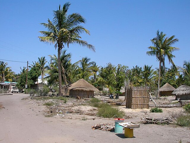
 Market in Vilankulo | |
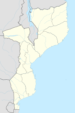
| Coordinates: 22°0′S 35°19′E | |
| Country | Mozambique |
| Provinces | Inhambane Province |
| District | Vilanculos District |
| Government | |
| • Type | Democratic |
| Population (2010 (estimate)) | |
• Total | 24,433 |
Vilankulo has been growing extensively over the last decade, and has been the recipient of considerable inward investment into its tourism infrastructure. The town of Vilankulo is the gateway to the archipelago. Dhows and helicopters travel between the town and the Bazaruto Archipelago. The town itself is only about 5 km long. The airport is based on the outside of the town with flights arriving and departing on a daily basis.
It is home to a new international airport, which serves daily flights to several regional destinations, including Johannesburg and Maputo.
Sports
The local football club is called Vilankulo F.C. (VFC).[1] This is the first official club from Vilankulo that is recognized by the Mozambican Football Federation. In November 2009 Vilankulo FC was promoted to the Moçambola.
Vilankulo is the gateway to the Bazaruto Archipelago, ocean safaris and Padi dive and boat charter centre.

Demographics
| Year | Population[2] |
|---|---|
| 2010 estimate | 24,433 |
Climate
| Climate data for Vilanculos (1961–1990) | |||||||||||||
|---|---|---|---|---|---|---|---|---|---|---|---|---|---|
| Month | Jan | Feb | Mar | Apr | May | Jun | Jul | Aug | Sep | Oct | Nov | Dec | Year |
| Mean daily maximum °C (°F) | 30.8 (87.4) |
30.9 (87.6) |
30.7 (87.3) |
29.3 (84.7) |
27.4 (81.3) |
25.7 (78.3) |
25.2 (77.4) |
25.8 (78.4) |
27.0 (80.6) |
28.0 (82.4) |
29.1 (84.4) |
30.1 (86.2) |
28.3 (83.0) |
| Mean daily minimum °C (°F) | 23.5 (74.3) |
23.1 (73.6) |
22.3 (72.1) |
20.0 (68.0) |
16.9 (62.4) |
14.6 (58.3) |
14.2 (57.6) |
15.5 (59.9) |
18.2 (64.8) |
20.3 (68.5) |
22.0 (71.6) |
23.1 (73.6) |
19.5 (67.1) |
| Average rainfall mm (inches) | 152.2 (5.99) |
160.4 (6.31) |
79.7 (3.14) |
41.0 (1.61) |
36.3 (1.43) |
23.7 (0.93) |
17.5 (0.69) |
23.4 (0.92) |
9.1 (0.36) |
40.1 (1.58) |
58.5 (2.30) |
138.0 (5.43) |
779.9 (30.69) |
| Average rainy days | 9 | 10 | 9 | 6 | 6 | 6 | 6 | 4 | 3 | 5 | 6 | 9 | 79 |
| Source: World Meteorological Organization[3] | |||||||||||||
References
Gallery
External links
Wikiwand - on
Seamless Wikipedia browsing. On steroids.

