Top Qs
Timeline
Chat
Perspective
Valle de los Ríos Apurímac, Ene y Mantaro
Geopolitical area of Peru From Wikipedia, the free encyclopedia
Remove ads
Remove ads
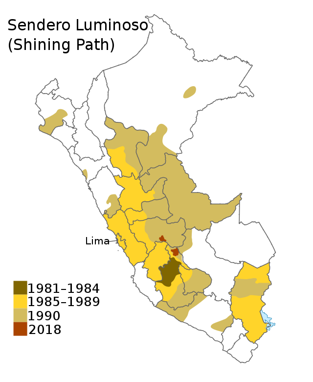
The Valle de los Ríos Apurímac, Ene y Mantaro (lit. 'Valley of the Apurímac, Ene and Mantaro rivers'), also known as the VRAEM, is a geopolitical area in Peru, located in portions of the departments of Ayacucho, Cusco, Huancavelica, and Junin.[1][2] It is one of the major areas of coca production in Peru.[3] It is also the center of operation of the far-left terrorist group Shining Path.


The area is extremely poor.[3] The VRAEM is an area of such high childhood malnutrition and poverty that the government of Peru selected the VRAEM to launch its National Strategy for Growth program in 2007.[4]
Remove ads
Cocaine production
Since 2012, Peru has overtaken Colombia as the world's largest cocaine-producing country.[5][6] With local incomes below $10/day, the valleys are used to produce raw paste product, and much of the drug trade is controlled by the Shining Path.[6][7] With an estimated 19,700 hectares (49,000 acres) of production area (2010), it is presently the world's densest area of cocaine production.[1][7] Paste product is shipped out of the valleys by armed native backpackers to Cuzco,[3][6] and then onward shipped to either: the Pacific Ocean ports; the Bolivian border, where it is sold to one of the drug cartels; or to mule-traffickers who ship the product onwards via scheduled air transport to Europe and North America.[6][7]
Remove ads
See also
References
Wikiwand - on
Seamless Wikipedia browsing. On steroids.
Remove ads
