Top Qs
Timeline
Chat
Perspective
Totonicapán
Municipality in Guatemala From Wikipedia, the free encyclopedia
Remove ads
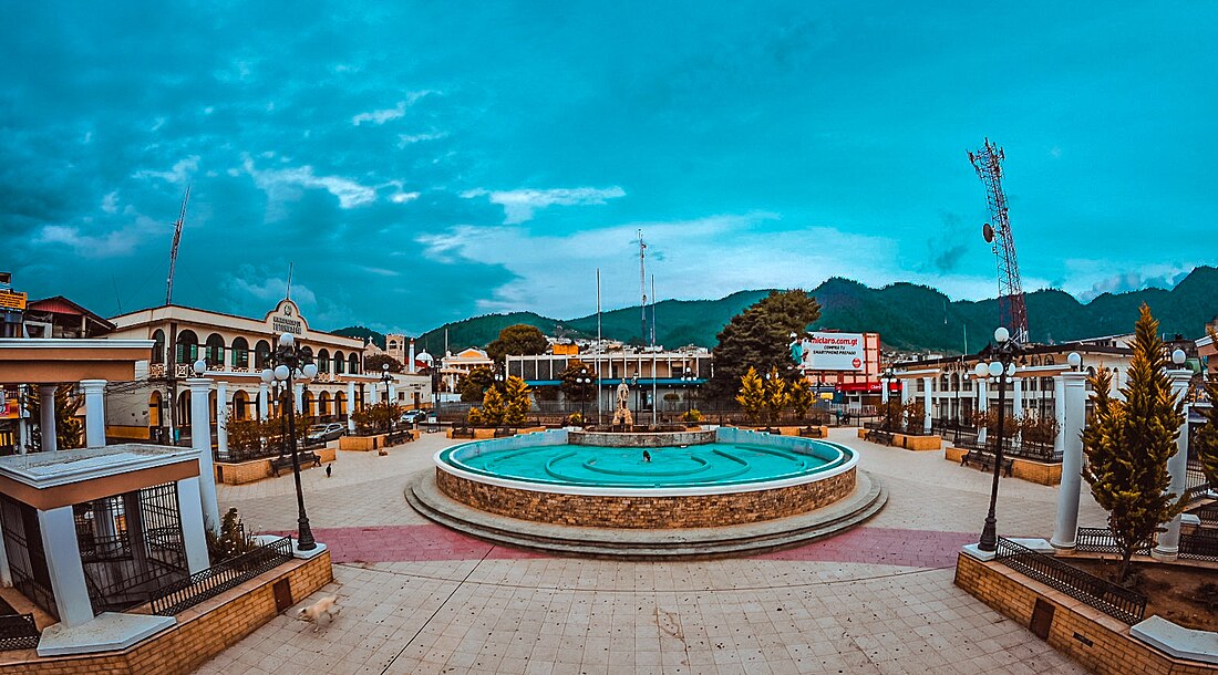
Totonicapán is a city in Guatemala. It serves as the capital of the department of Totonicapán and as the administrative seat for the surrounding municipality of Totonicapán.
Remove ads
History
In 1838 Totonicapán was declared an independent republic, in which the adjoining departments of Sololá and Quezaltenango were included. This state existed for two years, and was then again merged in the republic of Guatemala.[4]
Totonicapán suffered greatly in the earthquake of April 18, 1902.[4]
Historically, Totonicapán was known for its hot springs.[5]


Remove ads
Notes and references
External links
Wikiwand - on
Seamless Wikipedia browsing. On steroids.
Remove ads


