Tilarán (canton)
Canton in Guanacaste province, Costa Rica From Wikipedia, the free encyclopedia
Tilarán is a canton in the Guanacaste province of Costa Rica.[2][3] The head city is in Tilarán district.
Tilarán | |
|---|---|
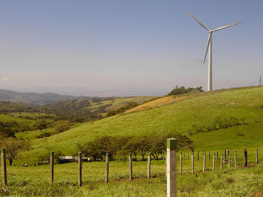
 Tilaran wind power industry. | |
 Tilarán canton | |
| Coordinates: 10.4896428°N 84.9065083°W | |
| Country | Costa Rica |
| Province | Guanacaste |
| Creation | 21 August 1923[1] |
| Head city | Tilarán |
| Districts | |
| Government | |
| • Type | Municipality |
| • Body | Municipalidad de Tilarán |
| Area | |
• Total | 638.39 km2 (246.48 sq mi) |
| Elevation | 579 m (1,900 ft) |
| Population (2011) | |
• Total | 19,640 |
| • Density | 31/km2 (80/sq mi) |
| Time zone | UTC−06:00 |
| Canton code | 508 |
| Website | www |
History
Tilarán was created on 21 August 1923 by decree 170.[1]
Geography
Tilarán has an area of 638.39 km²[4] and a mean elevation of 579 metres.[2]
The canton surrounds Lake Arenal except for the lake's southeast end, which belongs to the province of Alajuela. The northern border is in the Cordillera de Guanacaste, touching the Corobicí River at its northernmost limits. The southern part of the canton is in the Cordillera de Tilarán (mountain range).
Districts
The canton of Tilarán is subdivided into the following districts:
Demographics
For the 2011 census, Tilarán had a population of 19,640 inhabitants.[7]
Transportation
Road transportation
The canton is covered by the following road routes:
Notable people
- Leonidas Flores - Retired footballer
- Carlos Palacios Herrera - Professional cyclist
- Luis Esteban Herrera - Pianist
- Doris Murillo Boniche - Local artist. Retired art professor.
- Danadith Tayals - Poet
- Mark List - Driver on the Monster Jam circuit
References
Wikiwand - on
Seamless Wikipedia browsing. On steroids.


