Top Qs
Timeline
Chat
Perspective
Routt County, Colorado
County in Colorado, United States From Wikipedia, the free encyclopedia
Remove ads
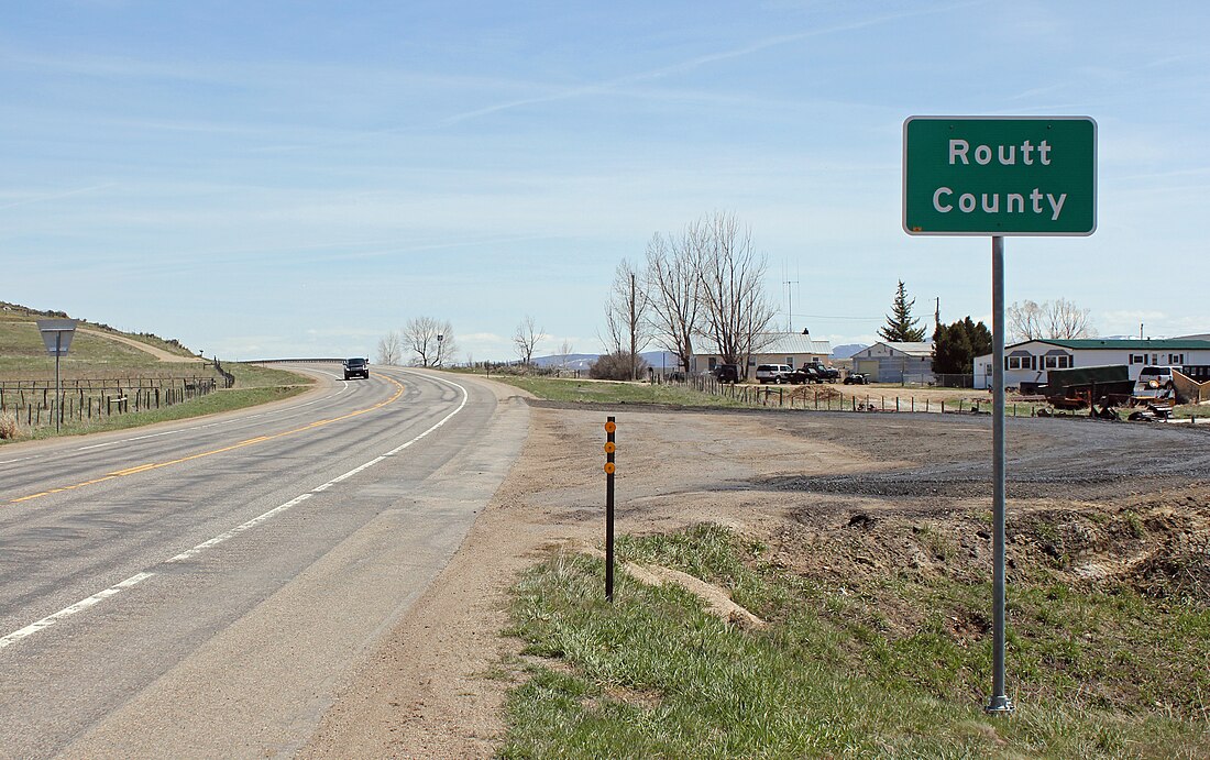
Routt County is a county located in the U.S. state of Colorado. As of the 2020 census, the population was 24,829.[1] The county seat is Steamboat Springs.[2] Routt County is included in the Steamboat Springs, CO Micropolitan Statistical Area, which also includes neighboring Moffat County.[3]
Remove ads
History
Placer gold was found near Hahns Peak in 1864 as part of the Colorado Gold Rush.[4]: 30
Routt County was created out of the western portion of Grand County on January 29, 1877. It was named in honor of John Long Routt, the last territorial and first state governor of Colorado. The western portion of Routt County was split off to form Moffat County on February 27, 1911.
Geography
According to the U.S. Census Bureau, the county has a total area of 2,368 square miles (6,130 km2), of which 2,362 square miles (6,120 km2) is land and 6.1 square miles (16 km2) (0.3%) is water.[5]
Adjacent counties
- Carbon County, Wyoming - north
- Jackson County - east
- Grand County - southeast
- Eagle County - south
- Garfield County - south-southwest
- Rio Blanco County - southwest
- Moffat County - west
Major highways
National protected areas
State protected areas
Trails and byways
- Continental Divide National Scenic Trail
- Fish Creek Falls National Recreation Trail
- Flat Tops Trail Scenic Byway
- Great Parks Bicycle Route
- Swamp Park National Recreation Trail
Remove ads
Demographics
Summarize
Perspective
2020 census
As of the 2020 census, the county had a population of 24,829, with 10,388 households and 5,106 families living in the county; 58.2% of residents lived in urban areas and 41.8% lived in rural areas.[11][12]
Of the residents, 19.2% were under the age of 18 and 16.6% were 65 years of age or older; the median age was 41.6 years. For every 100 females there were 106.3 males, and for every 100 females age 18 and over there were 107.4 males.[11][12]
The racial makeup of the county was 87.5% White, 0.6% Black or African American, 0.5% American Indian and Alaska Native, 0.7% Asian, 0.2% Native Hawaiian and Pacific Islander, 3.2% from some other race, and 7.4% from two or more races. Hispanic or Latino residents of any race comprised 8.9% of the population.[13]
There were 10,388 households in the county, of which 27.7% had children under the age of 18 living with them and 19.4% had a female householder with no spouse or partner present. About 26.0% of all households were made up of individuals and 8.7% had someone living alone who was 65 years of age or older.[12]
There were 16,511 housing units, of which 37.1% were vacant. Among occupied housing units, 71.6% were owner-occupied and 28.4% were renter-occupied. The homeowner vacancy rate was 1.1% and the rental vacancy rate was 21.9%.[12]
Education
Four public school districts have territory in the county:[14]
- Hayden School District RE-1, serving Hayden
- Steamboat Springs School District RE-2, serving Steamboat Springs
- South Routt School District RE-3, serving Oak Creek and Yampa
- Eagle County School District RE 50 (covers a small southeastern part of Routt County)
The county is also home to Steamboat Mountain School (private) in Steamboat Springs and North Routt Community Charter School in Clark.
Routt County is also home to the Steamboat Springs campus of Colorado Mountain College. CMC Steamboat is the only college in the United States that offers a degree in ski and snowboard business, which focuses on the retail, manufacturing, and marketing of snowsports.[15]
Remove ads
Politics
Summarize
Perspective
Routt County tilted Republican for much of the second half of the 20th century. From 1952 to 1988, Republicans carried the county in all but one election. The one break in this trend came in 1964, when Lyndon Johnson won Routt by a healthy margin of 63–37.
Since the late 1980s, Routt County has trended Democratic. It swung from a 34-point win for Ronald Reagan in 1984 to only a five-point win for George H. W. Bush in 1988. In 1992, Bill Clinton became the first Democrat to win the county since 1964 and only the second since 1948, carrying it with modest pluralities in both of his bids. George W. Bush won the county in 2000 by only 264 votes. However, John Kerry won it by a 10-point majority in 2004, and since then Routt has become powerfully Democratic, with Democrats winning by margins rivaling those in the counties closer to Denver. In 2016, Hillary Clinton won the county 54–37. Routt County continued its Democratic trend in 2020, with Joe Biden winning the county 63–35. This is the largest margin of victory for a Democratic presidential candidate in the county since the 1916 election.
Remove ads
Communities
City
Towns
Census-designated place
Unincorporated communities
Ghost towns
See also
References
External links
Wikiwand - on
Seamless Wikipedia browsing. On steroids.
Remove ads


