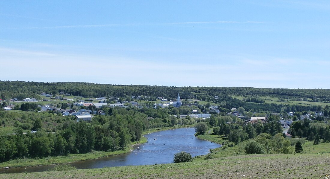
Saint-Ludger
Municipality in Quebec, Canada From Wikipedia, the free encyclopedia
Saint-Ludger is a municipality in the Le Granit Regional County Municipality in Estrie, Quebec, Canada, on the Canada–United States border. Population is 1,074 as of 2021.
Saint-Ludger | |
|---|---|
 | |
 Location within Le Granit RCM | |
| Coordinates: 45°45′N 70°42′W[1] | |
| Country | |
| Province | |
| Region | Estrie |
| RCM | Le Granit |
| Constituted | February 25, 1998 |
| Government | |
| • Mayor | Diane Roy |
| • Federal riding | Beauce |
| • Prov. riding | Beauce-Sud |
| Area | |
| • Total | 128.70 km2 (49.69 sq mi) |
| • Land | 127.58 km2 (49.26 sq mi) |
| Population (2021)[3] | |
| • Total | 1,074 |
| • Density | 8.4/km2 (22/sq mi) |
| • Pop 2016-2021 | |
| • Dwellings | 507 |
| Time zone | UTC−5 (EST) |
| • Summer (DST) | UTC−4 (EDT) |
| Postal code(s) | |
| Area code | 819 |
| Highways | |
| Website | www |
The municipality of Saint-Ludger was created in 1998 from the amalgamation of the village of Saint-Ludger, the municipality of Risborough and the township of Gayhurst-Partie-Sud-Est. The first settlers arrived in the area before 1863. It is named in honour of Ludger of Utrecht, the first bishop of Münster in the 9th century.
References
External links
Wikiwand in your browser!
Seamless Wikipedia browsing. On steroids.
Every time you click a link to Wikipedia, Wiktionary or Wikiquote in your browser's search results, it will show the modern Wikiwand interface.
Wikiwand extension is a five stars, simple, with minimum permission required to keep your browsing private, safe and transparent.

