Morvan
Natural region of central-east France From Wikipedia, the free encyclopedia
The Morvan (French pronunciation: [mɔʁvɑ̃] ; historically Morvand from the Latin Murvinnum c. 590)[1] is a mountainous massif lying just to the west of the Côte d'Or escarpment in the Bourgogne-Franche-Comté region, central-east France. It is a northerly extension of the Massif Central and is of Variscan age. It is composed of granites and basalts and formed a promontory extending northwards into the Jurassic sea.
This article needs additional citations for verification. (August 2022) |
| Morvan | |
|---|---|
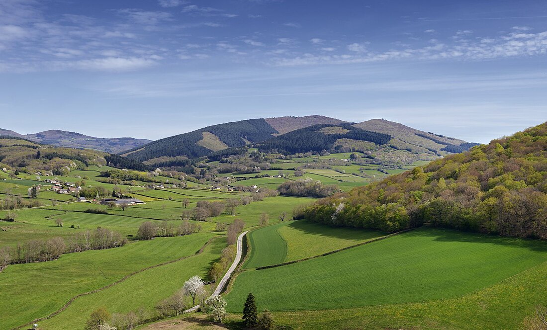
 A view of Mount Beuvray in the Morvan area, which marks the border between the Nièvre and Saône-et-Loire departments | |
| Highest point | |
| Peak | Haut-Folin |
| Elevation | 901 m (2,956 ft) |
| Geography | |
| Country | France |
| Region | Bourgogne-Franche-Comté |
| Borders on | Massif Central |
It is the smallest mountain area in France in terms of landmass covered, as well as the lowest, with a maximum altitude of 901 metres (2,956 feet) at Haut-Folin.
Geography
The Morvan is located across the Côte-d'Or, Nièvre, Saône-et-Loire and Yonne departments in the Bourgogne-Franche-Comté region in central-east France.
At its heart nowadays is the protected area of Morvan Regional Natural Park (French: Parc naturel régional du Morvan).
Its main town is Château-Chinon, Nièvre on the D978 road between Nevers and Autun. Several of its valleys have been dammed to form reservoirs.
- Map of the cantons of the Morvan
- Map of the communes of the Morvan Regional Natural Park
- Geological map of the Morvan
- Typical landscape in the Morvan
Music
The Morvan has a strong musical tradition. It uses musical ideas from many other cultures and combines them to make its own.
See also
References
External links
Wikiwand in your browser!
Seamless Wikipedia browsing. On steroids.
Every time you click a link to Wikipedia, Wiktionary or Wikiquote in your browser's search results, it will show the modern Wikiwand interface.
Wikiwand extension is a five stars, simple, with minimum permission required to keep your browsing private, safe and transparent.


