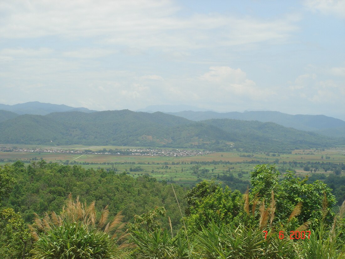
Mong Pan
Town in Southern Shan State, Myanmar From Wikipedia, the free encyclopedia
Mong Pan (Shan: ဝဵင်းမိူင်းပၼ်ႇ) is a town and seat of Mong Pan Township in the southern Shan State of Burma.[1] To the south it borders Mae Hong Son Province in Thailand and lies west of the Salween River. It lies along National Road 45.
Mong Pan
မိူင်းပၼ်ႇ မိုင်းပန် | |
|---|---|
Town | |
 | |
| Coordinates: 20°19′10″N 98°21′45″E | |
| Country | |
| State | |
| District | Langkho District |
| Township | Mong Pan Township |
| Elevation | 815 m (2,674 ft) |
| Time zone | UTC+6.30 (MST) |
Etymology
The name "Mong Pan" means "town of the revolving [lotus]" in Shan, and is transliterated into Burmese as Maingpan, also spelt Mine Pan.[2]
History
This town was formerly the residence of the Sawbwa of Mongpan State. The four districts of Möng Tang, Möng Hang, Möng Kyawt and Möng Hta,[1] located to the south on the east bank of the Salween belonged to the Cis-Salween Sawbwa of Möngpan. In 1888 there was trouble owing to the action of Siam, who attempted to take possession of them. Siamese troops were posted in the four districts. Siam also claimed a further district, Möng Hsat, but posted no troops there.[3]
References
Wikiwand in your browser!
Seamless Wikipedia browsing. On steroids.
Every time you click a link to Wikipedia, Wiktionary or Wikiquote in your browser's search results, it will show the modern Wikiwand interface.
Wikiwand extension is a five stars, simple, with minimum permission required to keep your browsing private, safe and transparent.

