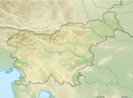
Mariborska koča (1142 m) is a mountain hut, which lies on small plain, on southern part of Pohorje under Reški vrh and Ledinek kogl. It was built in 1911 and was burnt by Germans during WW2.
| Mariborska koča | |
|---|---|
 | |
| Highest point | |
| Elevation | 1,142 m (3,747 ft) |
| Coordinates | 46°30′5.4″N 15°33′19.80″E |
| Geography | |
| Parent range | Pohorje |
Starting points
Neighbouring hills
- ½h : Mariborski razglednik (1147 m)
- ¾h : Bolfenk (1044 m)
- 1h : Ruška koča pri Arehu (1246m)
See also
References
- Slovenska planinska pot, Planinski vodnik, PZS, 2012, Milenko Arnejšek - Prle, Andraž Poljanec ISBN 978-961-6870-04-7
External links
Wikiwand in your browser!
Seamless Wikipedia browsing. On steroids.
Every time you click a link to Wikipedia, Wiktionary or Wikiquote in your browser's search results, it will show the modern Wikiwand interface.
Wikiwand extension is a five stars, simple, with minimum permission required to keep your browsing private, safe and transparent.

