R334 (South Africa)
Road in Nelson Mandela Bay, South Africa From Wikipedia, the free encyclopedia
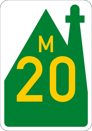
The R334 is a Regional Route in the Nelson Mandela Bay Metropolitan Municipality of South Africa that connects the N2 west of Gqeberha to the N2 at Coega north of Gqeberha via Uitenhage.[1] The middle section of the route is also designated as the M20 metropolitan route.[2]

Route
The R334 begins at a junction with the N2 national route north-east of Gqeberha (7.5 km south-west of Colchester), heading west-south-west. It is initially co-signed with the R102 for 10 kilometres before the R334 becomes its own road westwards named Daniel Pienaar Street. It runs through the northern parts of Motherwell, where it forms a four-way-junction with the R335.[1]
16 kilometres after the R335 junction, the R334 crosses the R75 to enter Uitenhage (Kariega). It reaches a t-junction with Graaff-Reinet Street, where the R334 becomes Graaff-Reinet Street southwards and enters the Uitenhage town centre. It meets the north-western origin of the M6 at the Caledon Street junction, where it becomes Caledon Street westwards before becoming Cuyler Street southwards and meeting the northern origin of the M10.[1]
It leaves the town to the south-west, crossing the Swartkops River to become Cape Road and passing the township of KwaNobuhle. It ends at a junction with the R102 to the west of Gqeberha (east of Van Stadens Wild Flower Reserve), near an interchange with the N2.[1]
External links
References
Wikiwand - on
Seamless Wikipedia browsing. On steroids.

