Top Qs
Timeline
Chat
Perspective
List of California county high points
List of the county high points in the U.S. state of California From Wikipedia, the free encyclopedia
Remove ads
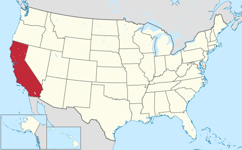
This is a list of 58 counties of the U.S. State of California by their points of highest elevation. 6 of the 50 highest county high points in the United States are in California. Mount Whitney, located in Inyo and Tulare counties, is the highest point in California as well as the highest point in the contiguous United States at 14,505 feet (4,421 m).[1]
 |
Because of the wide variety of mountain ranges in California, the state has become a common destination for highpointers and peakbaggers. As of May 2024, at least 45 different climbers have summited all 58 county high points in California.[2]
Some of these high points, such as Laveaga Peak and South Butte among others, are located on private or protected land and are typically not allowed to be summited. However, some climbers have successfully organized group hikes with the permission of the land owner,[3] while others simply trespass on the land after dark in order to reach the summit. While peakbagger.com and other similar highpointing websites explicitly forbid trespassing on private and protected land, trip reports submitted to these sites would suggest that many climbers do this anyway.[4]
Remove ads
California county high points
Main article: List of counties in California
See also: List of highest U.S. county high points
More information County, Rank ...
Close
Remove ads
See also
References
Wikiwand - on
Seamless Wikipedia browsing. On steroids.
Remove ads
Remove ads

