Les Lacs-du-Témiscamingue
Unorganized territory in Quebec, Canada From Wikipedia, the free encyclopedia
Les Lacs-du-Témiscamingue (French pronunciation: [le lak dy temiskamɛ̃ɡ], lit. 'The Lakes of Temiscaming') is a large unorganized territory in the Abitibi-Témiscamingue region of Quebec, Canada. With a total area of 12,224.27 square kilometres (4,719.82 sq mi), it takes up over 60% of the eastern portion of the Témiscamingue Regional County Municipality.[2]
Les Lacs-du-Témiscamingue | |
|---|---|
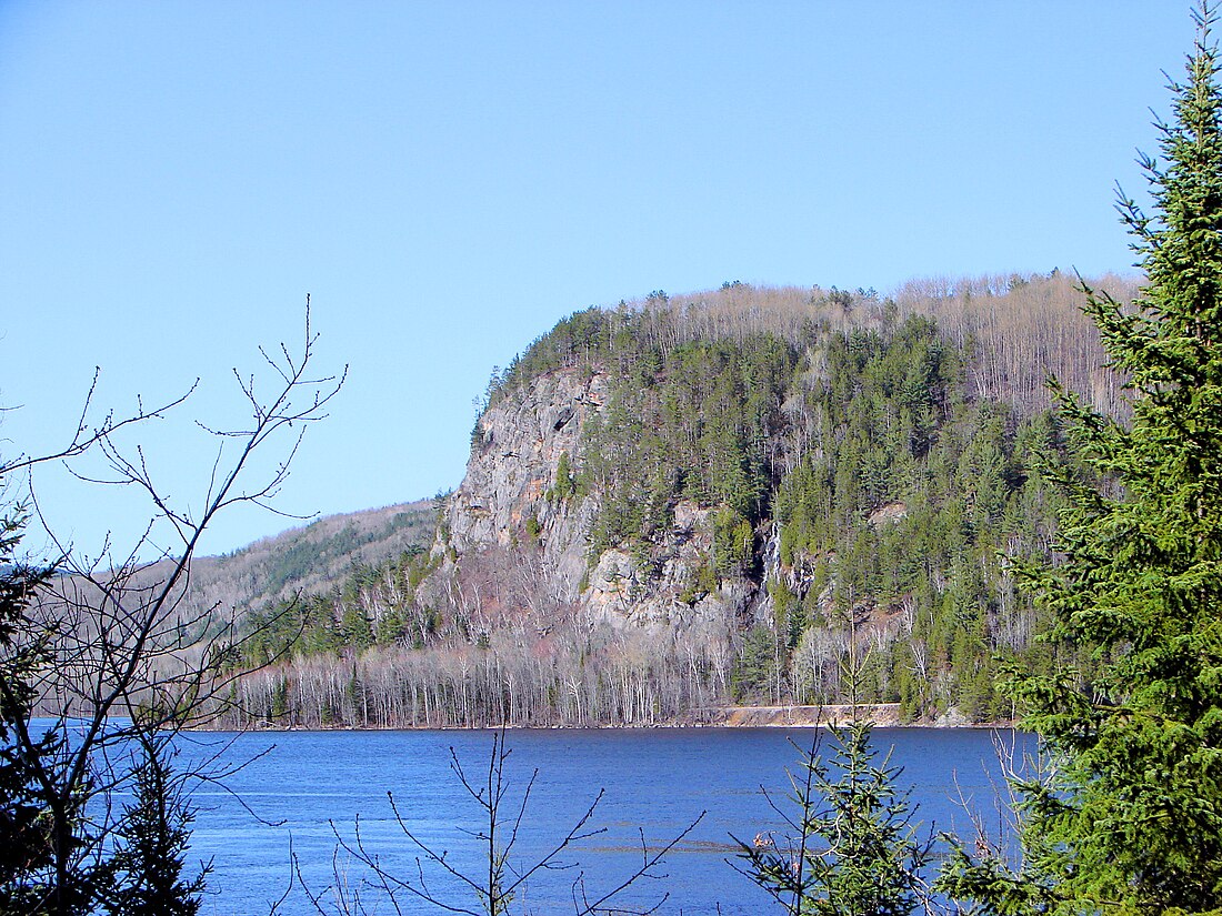
 Lacs-du-Témiscamingue as seen across the Ottawa River near Mattawa | |
 Location within Témiscamingue RCM | |
| Coordinates: 47°04′N 78°26′W[1] | |
| Country | Canada |
| Province | Quebec |
| Region | Abitibi-Témiscamingue |
| RCM | Témiscamingue |
| Constituted | October 31, 2005 |
| Government | |
| • Federal riding | Abitibi—Témiscamingue |
| • Prov. riding | Rouyn-Noranda–Témiscamingue |
| Area | |
• Total | 12,224.27 km2 (4,719.82 sq mi) |
| • Land | 10,366.89 km2 (4,002.68 sq mi) |
| Population (2021)[3] | |
• Total | 10 |
| • Density | 0.0/km2 (0/sq mi) |
| • Pop (2016–21) | 33.3% |
| • Dwellings | 15 |
| Time zone | UTC−05:00 (EST) |
| • Summer (DST) | UTC−04:00 (EDT) |
The only community in the territory is the hamlet of Lac-Caugnawana (46°32′06″N 78°18′23″W).[4]
Until October 31, 2005, Les Lacs-du-Témiscamingue and Laniel unorganized territories were part of the Rivière-Kipawa unorganized territory.[5]
Demographics
Canada census – Les Lacs-du-Témiscamingue community profile
| Year | Pop. | ±% |
|---|---|---|
| 2001 | 0 | — |
| 2006 | 5 | — |
| 2011 | 0 | −100.0% |
| 2016 | 15 | — |
| 2021 | 10 | −33.3% |
| 2001 population figure adjusted due to boundary change. Source: Statistics Canada | ||
See also
References
External links
Wikiwand - on
Seamless Wikipedia browsing. On steroids.

