Zoutleeuw
City and municipality in Flemish Community, Belgium From Wikipedia, the free encyclopedia
Zoutleeuw (Dutch pronunciation: [ˌzʌutˈleːu] ; French: Léau [leo]) is a municipality and city in the Hageland, in the extreme east of the Belgian province of Flemish Brabant. On 1 January 2018 the municipality had 8,498 inhabitants. The total area is 46.73 km2, giving a population density of 182 inhabitants per km2.
This article needs additional citations for verification. (January 2013) |
Zoutleeuw | |
|---|---|
City and municipality | |
 | |
| Coordinates: 50°50′N 05°06′E | |
| Country | |
| Community | Flemish Community |
| Region | Flemish Region |
| Province | Flemish Brabant |
| Arrondissement | Leuven |
| Government | |
| • Mayor | Boudewijn Herbots (CD&V) |
| • Governing party/ies | CD&V |
| Area | |
| • Total | 46.85 km2 (18.09 sq mi) |
| Population (2018-01-01)[1] | |
| • Total | 8,498 |
| • Density | 180/km2 (470/sq mi) |
| Postal codes | 3440 |
| NIS code | 24130 |
| Area codes | 011 |
| Website | www.zoutleeuw.be |
The name Leeuw means "lion", to which Zout ("salt") was added from the 16th century in recognition of the town's right to levy a salt tax.
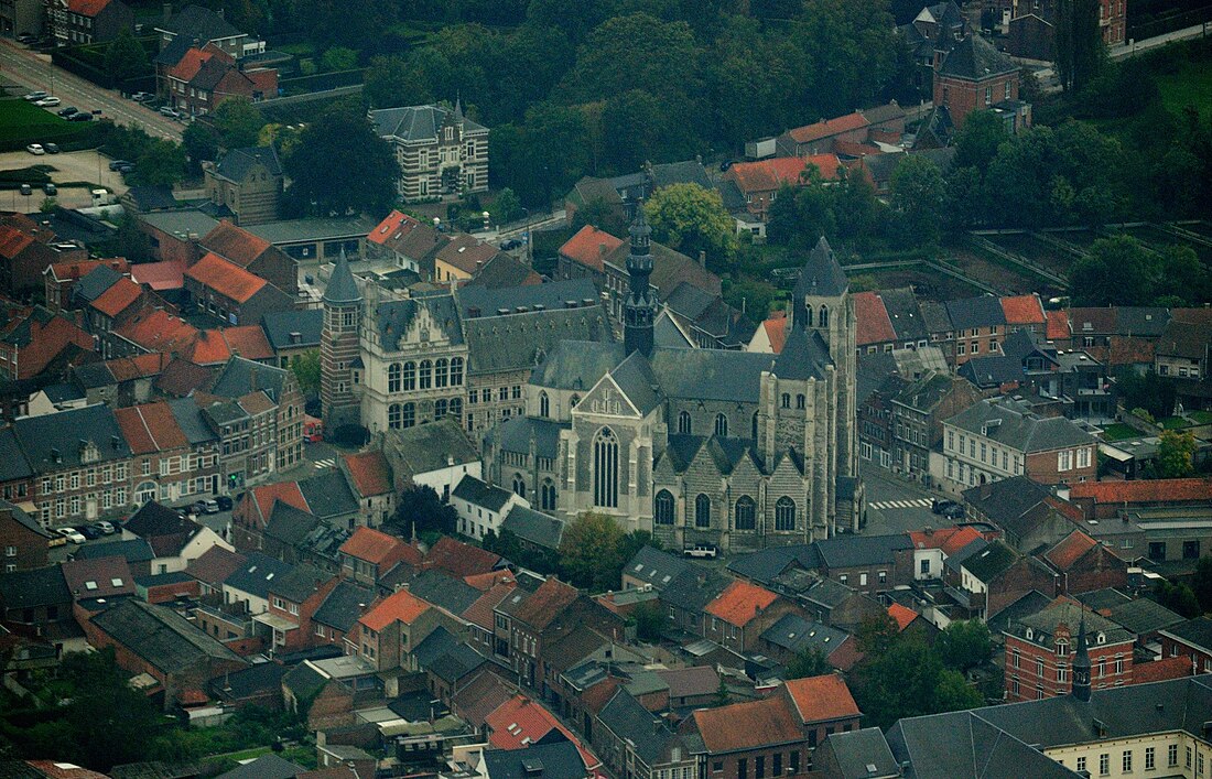
In 1999, UNESCO included the historical St. Leonard's Church as part of the World Heritage Site Belfries of Belgium and France.[2]

Other centres
As well as Zoutleeuw proper, the municipality also comprises the ancienne communes of:
- Budingen
- Dormaal
- Halle-Booienhoven
- Helen-Bos
- Ossenweg
References
External links
Wikiwand in your browser!
Seamless Wikipedia browsing. On steroids.
Every time you click a link to Wikipedia, Wiktionary or Wikiquote in your browser's search results, it will show the modern Wikiwand interface.
Wikiwand extension is a five stars, simple, with minimum permission required to keep your browsing private, safe and transparent.


