Lawton, Oklahoma metropolitan area
Metropolitan Statistical Area in Oklahoma, United States From Wikipedia, the free encyclopedia
The Lawton Metropolitan Statistical Area, as defined by the United States Census Bureau, is an area consisting of two counties – Comanche and Cotton – in Oklahoma, anchored by the city of Lawton. As of the 2010 census, the MSA had a population of 130,291.[1][2]
Lawton Metropolitan Area | |
|---|---|
| Lawton Metropolitan Statistical Area | |
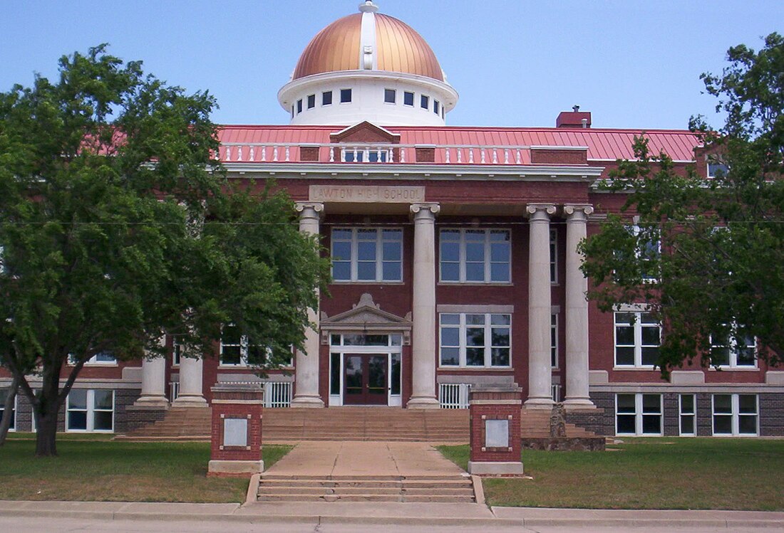
 Lawton City Hall (Formerly Central Lawton Jr High School) | |
 | |
| Country | United States |
| State | Oklahoma |
| Largest city | Lawton |
| Other cities | - Cache - Elgin - Duncan |
| Area | |
• Total | 1,069.3 sq mi (2,769 km2) |
| Highest elevation | 2,476 ft (754 m) |
| Lowest elevation | 1,000 ft (304 m) |
| Population | |
• Total | 130,291 (2,010 Census) |
| • Rank | 324th in the U.S. |
| • Density | 116.1/sq mi (44.8/km2) |
| Time zone | UTC-6 (CST) |
| • Summer (DST) | UTC-5 (CDT) |
Counties
Communities
Cities
Towns
See also
References
Wikiwand - on
Seamless Wikipedia browsing. On steroids.
