Char Asiab District
District in Kabul Province, Afghanistan From Wikipedia, the free encyclopedia
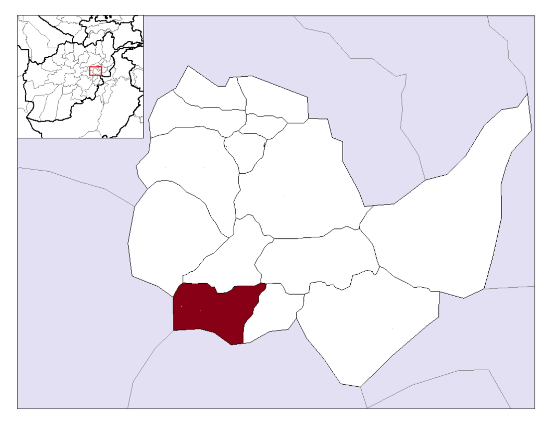
Char Asiab District (Persian: چهار آسیاب, Chahār Aasiāb Char Asiab, Chahar Asiab, Charasiab, Charasiah or Charasia) is a district, approximately 11 km (7 miles) south of the city of Kabul, and is situated in the southern part of Kabul province, Afghanistan. It has a population of 32,500 people (2002 official UNHCR estimate). The majority are Pashtuns, followed by Tajiks as well as a few Hazaras.[1]
This article needs to be updated. (August 2021) |
Char Asiab District | |
|---|---|
 Location in Kabul Province | |
| Country | Afghanistan |
| Province | Kabul Province |
| Capital | Qalai Naeem |
| Population (2015) | |
• Total | 37,442 |
| Time zone | UTC+04:30 (AST) |
Char Asiab district borders Logar province to the south, Wardak province to the west, Paghman District to the north-west, Kabul to the north, and Bagrami and Mussahi districts to the west. The headquarters of Char Asiab district is Qala-e Malik, which is located in the western end of the district.
The Kabul River flows through Char Asiab district. Agriculture is the main source of income for the people. Even with a low water table in the summer, the land can be irrigated and cultivated.
Around 1992 Char Asiab went through a period of distraction in the war in Afghanistan. At the time of the Mujahideen regime it was used as the main military base of Hezb-e-Islami Gulbudin.
References
External links
Wikiwand - on
Seamless Wikipedia browsing. On steroids.
