User:Little Mountain 5/Images
From Wikipedia, the free encyclopedia
Images
Regular images

 Coast near Yachats
 Coast near Yachats
 Rock shelter at the top of Cape Perpetua
 Visitor center from the top of Cape Perpetua
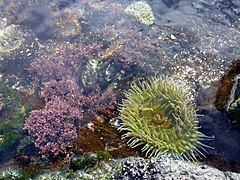 Tide pool near Yachats
 Rock exhibiting Liesegang bands on Broken Top
 Unnamed glacial lake near the summit of Broken Top
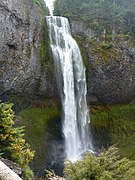
 The Pinnacles in Crater Lake National Park

 Western juniper in Lava Beds National Monument
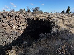 The entrance to Skull Cave in Lava Beds National Monument
 Tub Springs in Tub Springs State Wayside
 Sunset from the Klamath River Overlook
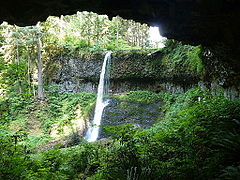 Middle North Falls in Silver Falls State Park
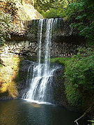 Lower South Falls in Silver Falls State Park
 Sunrise on the Three Sisters
 Middle North Falls in Silver Falls State Park
 Upper North Falls in Silver Falls State Park
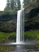 South Falls in Silver Falls State Park
 Lower South Falls in Silver Falls State Park
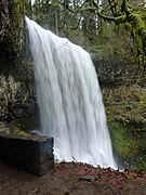 Lower South Falls in Silver Falls State Park
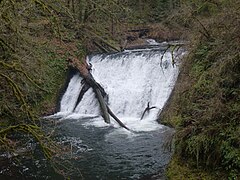 Lower North Falls in Silver Falls State Park
 Drake Falls in Silver Falls State Park
 Double Falls in Silver Falls State Park
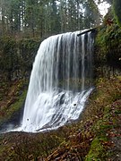 Middle North Falls in Silver Falls State Park
 Behind Middle North Falls in Silver Falls State Park
 Middle North Falls in Silver Falls State Park
 Winter Falls in Silver Falls State Park
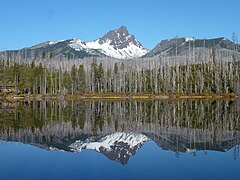 Three Fingered Jack from across Round Lake
 Three Fingered Jack from across Round Lake
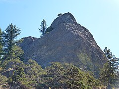
 Lichens on the base of Pilot Rock
 The Shasta Valley from Pilot Rock
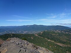 The Siskiyou Mountains from Pilot Rock
 The Rogue Valley from Pilot Rock
 The summit of Pilot Rock from the east
 Survey marker atop Pilot Rock
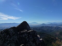 The summit of Pilot Rock looking south
 Succulents atop Pilot Rock
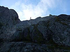 View from the base of the scrambling route up Pilot Rock
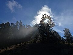 Sunlight filtering through a tree near Pilot Rock
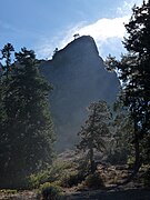 Pilot Rock through a thin fog
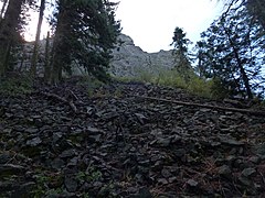 A talus deposit on Pilot Rock
 Sand Mountain in Nevada
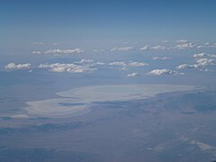 Aerial view of Sevier Lake
 Looking up at the Town Pavilion in Kansas City
 Crown Center Square in Kansas City
 The Liberty Memorial in Kansas City
 Union Station in Kansas City
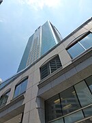 Looking up at the Town Pavilion in Kansas City
 Looking up at One Kansas City Place
 Unidentified lizard on Lower Table Rock
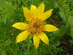 Unidentified flower on Lower Table Rock
 Allium parvum in bloom
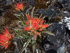 Indian Paintbrush in bloom
 Trail across the top of Lower Table Rock
 Large madrone tree on Lower Table Rock
 Oak savanna on Lower Table Rock
 Buckbrush on Lower Table Rock
 Buckbrush in bloom
 Lower Table Rock Trail
 Madrone on Roxy Ann Peak
 View east from Roxy Ann Peak
 Oak galls on Roxy Ann Peak
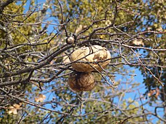 Oak galls on Roxy Ann Peak
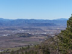
 An aerial of image of Roxy Ann Peak and Medford, Oregon
 Mount Eddy from the city of Mount Shasta
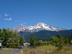 Mount Shasta from the city of the same name
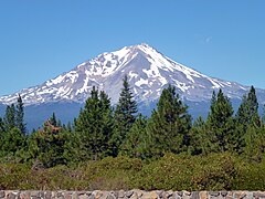 Mount Shasta from Highway 89
 Lake Tahoe above Lake Tahoe Dam
 The Lake Tahoe Dam
 The Lake Tahoe Dam at the headwaters of the Truckee River
 The front of Scheels All Sports at night
 The Ferris wheel inside Scheels
 An airplane hanging from the ceiling of Scheels in Sparks
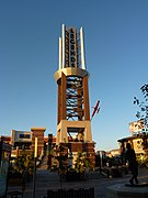 The tower in the center of the Outlets at Legends in Sparks
 Looking north from the Devils Punch Bowl
 Looking south from Otter Crest
 Side view of the Devils Punch Bowl
 The Yaquina Bay Lighthouse from across the Yaquina River
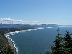 Looking south from Oswald West State Park
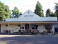 The historic Butteville Store, established 1863
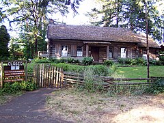 The Pioneer Mother's Memorial Cabin and DAR Museum in Champoeg
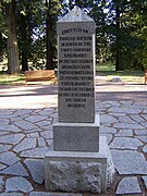 1901 monument in Champoeg
 Mount Eddy
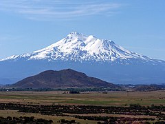 Mount Shasta
 The Williamson River southwest of Chiloquin
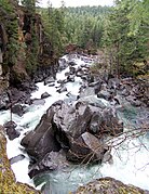 A small vertical panorama of the Avenue of the Giant Boulders
 The Rogue River just above the Avenue of the Giant Boulders
 The 180-foot (50 m) tall communications tower atop Roxy Ann Peak
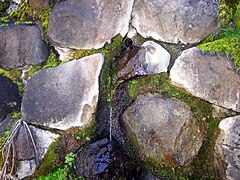 1930s CCC fountain/spring on Roxy Ann Peak
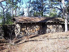 1930s CCC restroom on Roxy Ann Peak
 Moss on Roxy Ann Peak
 Looking towards the summit of Roxy Ann Peak
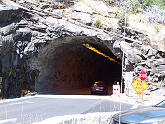
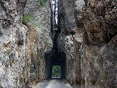 The Needles Eye Tunnel on the Needles Highway, South Dakota
 The Powder River Pass sign
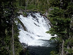
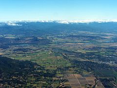 An aerial image showing various features of the Rogue Valley
 An aerial image of Trail
 An aerial image of Eagle Point
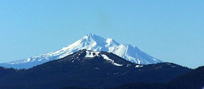 An aerial image of Mount Ashland with Mount Shasta behind it
 An aerial image of Lower Table Rock
 An aerial image of Medford, Oregon
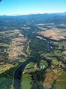 An aerial image of the Rogue River above Eagle Point
 An aerial image of Upper Table Rock
 An aerial image of Agate Lake
 An aerial image of North Medford High School
 An aerial image of the Interstate 5 viaduct in Medford, Oregon
 Roxy Ann Peak
 An aerial image of the notched Elk Creek Dam
 Deadline Falls on the North Umpqua River
 An aerial view of Lake Isabella
 The Lake Shasta Caverns are inside this mountain
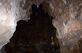 A massive room in the Lake Shasta Caverns
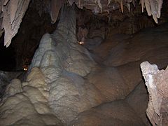
 Howard Prairie Lake from its south shore
 The Rogue River just above the Avenue of the Giant Boulders
 The Rogue River flowing through the Avenue of the Giant Boulders at the Prospect State Scenic Viewpoint
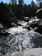 The Rogue River flowing through the Avenue of the Giant Boulders at the Prospect State Scenic Viewpoint
 The Rogue River flowing through the Avenue of the Giant Boulders at the Prospect State Scenic Viewpoint
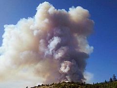 The Deer Ridge Fire
 Little Butte Creek from the Antelope Creek Bridge
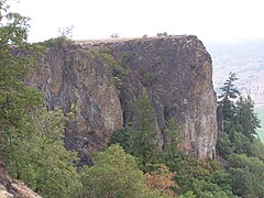 Cliffs on Lower Table Rock
 The Lower Table Rock Trail
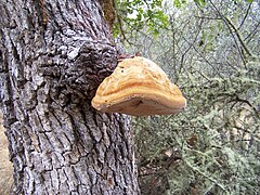 Fungus on a tree on Lower Table Rock
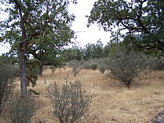 Oak savanna on Lower Table Rock
 The eighth interpretive sign on the Lower Table Rock Trail
 The seventh interpretive sign on the Lower Table Rock Trail
 The sixth interpretive sign on the Lower Table Rock Trail
 The fifth interpretive sign on the Lower Table Rock Trail
 The fourth interpretive sign on the Lower Table Rock Trail
 The third interpretive sign on the Lower Table Rock Trail
 The second interpretive sign on the Lower Table Rock Trail
 The first interpretive sign on the Lower Table Rock Trail
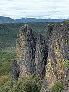 A large andesite column on Lower Table Rock
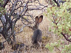 A jackrabbit on top of Lower Table Rock
 The airstrip on top of Lower Table Rock
 Oak galls on Lower Table Rock
 The entrance to the Lower Table Rock Trail
 The Rogue River from Lower Table Rock
 The Rogue River from Lower Table Rock
 The Rogue River from Lower Table Rock
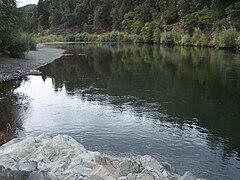 The Rogue River from near Indian Mary Park
 The Rogue River from near Indian Mary Park
 The Rogue River from near Indian Mary Park
 A helicopter flying to the Deer Ridge Fire
 The Deer Ridge Fire
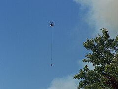 A helicopter flying to the Deer Ridge Fire
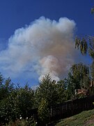 The Deer Ridge Fire
 Agate Lake from Roxy Ann Peak
 Brown Mountain from across Lake of the Woods
 Inside the top of the Umpqua River Light
 The sign at the bottom of the elevator at the Sea Lion Caves
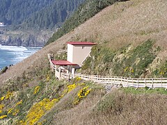 The elevator at the Sea Lion Caves
 Two abalone at the Oregon Coast Aquarium
 The plane being launched in Waterworld: A Live Sea War Spectacular at Universal
 An artichoke flowering
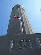 Looking up at Coit Tower
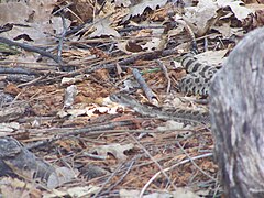 A rattlesnake near Lower Yosemite Falls
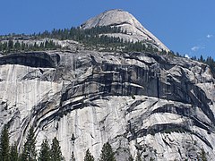 The North Dome
 Lower Table Rock from Roxy Ann Peak
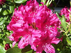 A purple rhododendron flowering
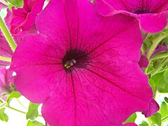 A purple petunia flowering
 Sempervivum arachnoideum flowering
 Looking down at the Devils Churn
 The Yaquina Bay Lighthouse
 Looking into Devils Punch Bowl
 Mount McLoughlin from across Willow Lake
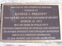 The plaque in Prescott Park on Roxy Ann Peak
 A madrone tree on Roxy Ann Peak
 Mount McLoughlin from Roxy Ann Peak


Panoramas
 Unnamed glacial lake near the summit of Broken Top
 Crater Lake from the summit of The Watchman
 Crater Lake from the summit of The Watchman
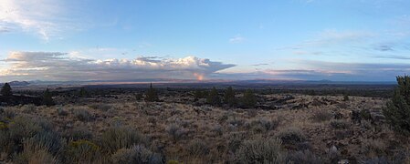 The Lava Beds from the base of Schonchin Butte
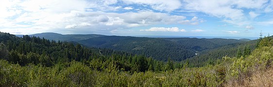 Redwood Creek Overlook in Redwood National Park
 Reno from Nevada SR 341
 View from the Geiger Lookout Wayside Park from NV 341
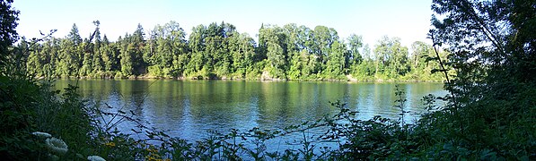
 The Columbia River from Hayden Island
 View from behind North Falls in Silver Falls State Park
 Yaquina Head from Salal Hill
 Conde McCullough's Rocky Creek Bridge
 Middle North Falls in Silver Falls State Park
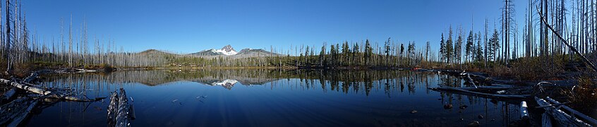 Three Fingered Jack from across Round Lake
 Three Fingered Jack from across an unnamed pond
 View from the east edge of Pilot Rock
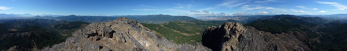 View from the saddle between the two highest points of Pilot Rock
 View from the summit of Pilot Rock
 View from the second highest point of Pilot Rock
 View from the west edge of Pilot Rock
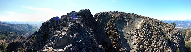 The summit of Pilot Rock from the north
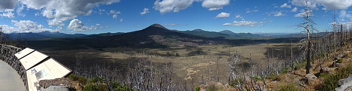 The Hat Creek Valley
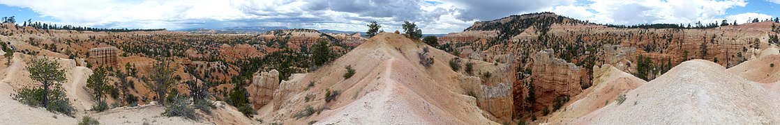 Fairyland Canyon in Bryce Canyon National Park
 Bryce Canyon
 Bryce Canyon
 Mudflats on the bed of Applegate Lake where Copper once stood
 View from Vista Encantada
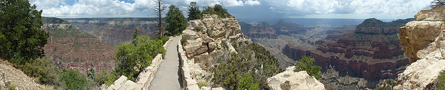 Bright Angel Point Trail
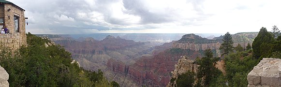 Looking down Bright Angel Canyon
 View from the Grand Canyon Lodge
 Downtown Kansas City from the Liberty Memorial
 Kauffman Center for the Performing Arts in Kansas City
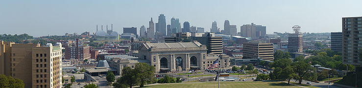 Kansas City skyline from the Liberty Memorial
 View looking east from Pittock Mansion
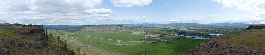 View looking east from Lower Table Rock
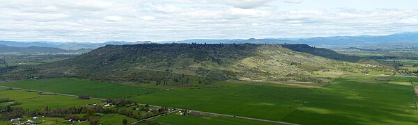 Upper Table Rock from Lower Table Rock
 A large vernal pool atop Lower Table Rock
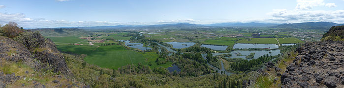 View from northeast to southwest from Lower Table Rock
 360-degree panorama of Lower Table Rock and surroundings
 An inversion-created fog layer in the Rogue Valley
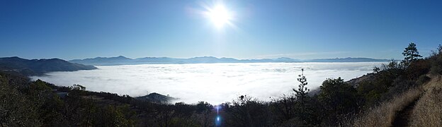 An inversion-created fog layer in the Rogue Valley
 Roxy Ann Peak and housing developments on its slopes
 Inside the Devils Punchbowl
 The Willamette River from Champoeg
 Looking north from Seal Rock State Recreation Site
 The Rogue River from Valley of the Rogue State Park
 The McKenzie River near Coburg
 Deadline Falls on the North Umpqua River
 The mouth of the Columbia River
 Looking south at Shasta Valley
 Looking down at the Avenue of the Giant Boulders
 The Willamette Falls
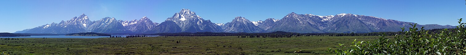 The Teton Range in the Grand Teton National Park
 Simpson Reef near Coos Bay
 The Colliding Rivers
 Upper Table Rock from Lower Table Rock
 The Rogue River from Lower Table Rock
 The Rogue River from Lower Table Rock
 The Rogue River from near Indian Mary Park
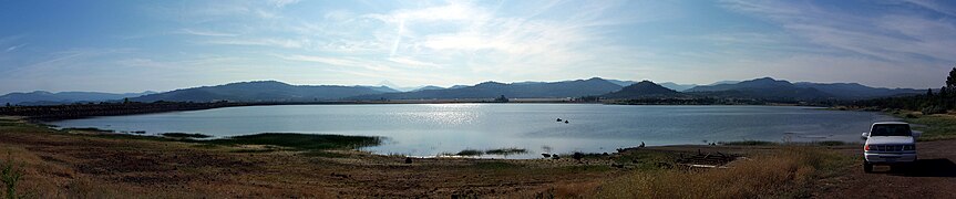 Agate Lake
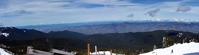 Looking north from near the summit of Mount Ashland
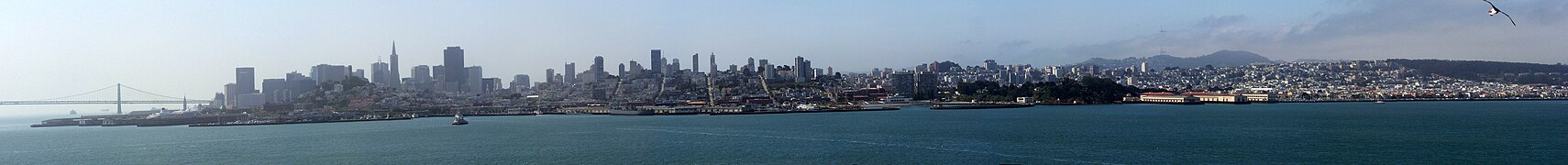
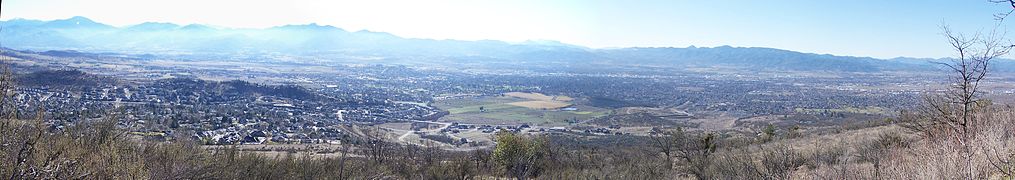 Medford from Roxy Ann Peak


Maps
 California counties declared disaster areas in the Christmas flood of 1964
 The Pistol River watershed
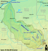 The Willow Creek watershed
 The Fifteenmile Creek watershed
 The Trout Creek watershed
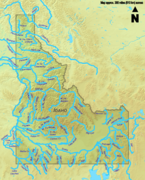
 The Rogue River watershed
 Mountains in Oregon exceeding 7,000 feet (2,134 m) in elevation
 The Chetco River watershed
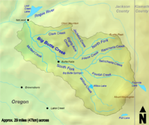 The Big Butte Creek watershed
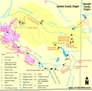 Dams and canals associated with Little Butte Creek
 The Little Butte Creek watershed
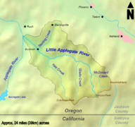 The Little Applegate River watershed
 The Applegate River watershed


Other
 A full rotation of the asteroid Vesta
 A graph of the populations of the largest cities in the US
 A symbol for disambiguation class articles


