Loading AI tools
Road in Ireland From Wikipedia, the free encyclopedia
The R285 road is a regional road in Ireland linking the N4 at a point east of Boyle, County Roscommon to the R280 at Mountallen. The road lies entirely within County Roscommon.
| R285 road | |
|---|---|
| Bóthar R285 | |
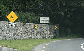
 R285 road, on leaving the N4 | |
| Route information | |
| Length | 16 km (9.9 mi) |
| Location | |
| Country | Ireland |
| Primary destinations |
|
| Highway system | |
En route it passes through Knockvicar and Keadue. The road is 16 km (9.9 mi) long.

Seamless Wikipedia browsing. On steroids.
Every time you click a link to Wikipedia, Wiktionary or Wikiquote in your browser's search results, it will show the modern Wikiwand interface.
Wikiwand extension is a five stars, simple, with minimum permission required to keep your browsing private, safe and transparent.